File:Palacio de las Artes e Industrias (Madrid) 01.jpg
Jump to navigation
Jump to search

Size of this preview: 800 × 371 pixels. Other resolutions: 320 × 148 pixels | 640 × 296 pixels | 1,024 × 474 pixels | 1,280 × 593 pixels | 2,688 × 1,245 pixels.
Original file (2,688 × 1,245 pixels, file size: 1.73 MB, MIME type: image/jpeg)
| Description |
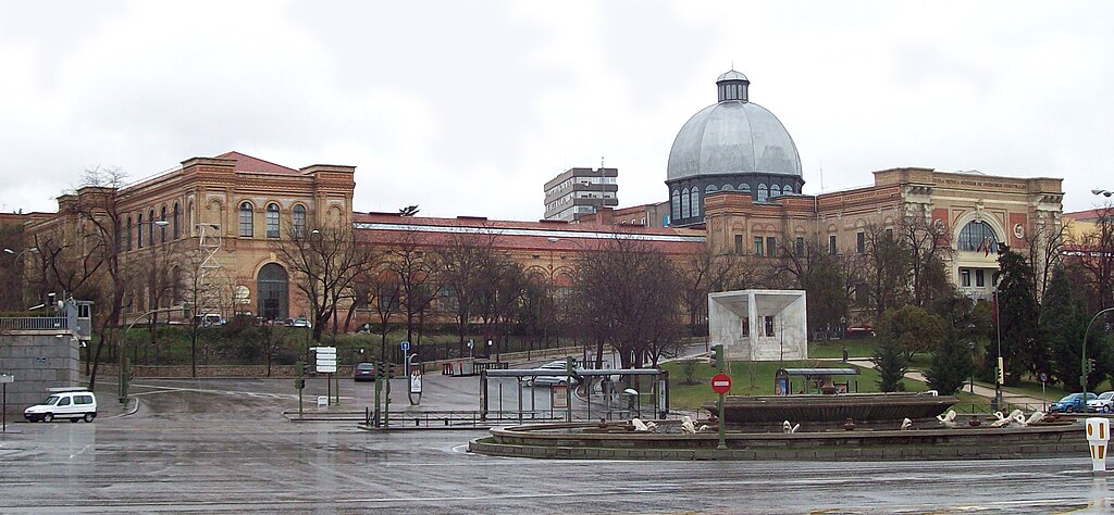
English: View of the so-called Palacio de las Artes e Industrias from Plaza de San Juan de la Cruz (square) in Madrid (Spain). It was projected in 1881 by Fernando de la Torriente and built from 1881 to 1886. Building is nowadays shared by the National Museum of Natural Sciences and the Technical School of Industrial Engineering (part of the UPM).
Español: Vista del llamado Palacio de las Artes e Industrias desde la Plaza de San Juan de la Cruz de Madrid (España). Fue proyectado en 1881 por Fernando de la Torriente y construido de 1881 a 1886. Hoy en día el edificio es compartido por el Museo Nacional de Ciencias Naturales y la Escuela Técnica Superior de Ingenieros Industriales (parte de la UPM). |
||
| Date | |||
| Source | Own work | ||
| Author | Luis García (Zaqarbal) | ||
| Permission (Reusing this file) |
I, the copyright holder of this work, hereby publish it under the following licenses:
This file is licensed under the Creative Commons Attribution-Share Alike 3.0 Unported, 2.5 Generic, 2.0 Generic and 1.0 Generic license. Attribution: Luis García
You may select the license of your choice. |

_01.jpg)
| Object location | | View this and other nearby images on: OpenStreetMap |
|---|
_01.jpg¶ms=040.440528_N_-003.689643_E_globe:Earth_class:object_type:landmark_region:ES_&language=en)
File history
Click on a date/time to view the file as it appeared at that time.
| Date/Time | Thumbnail | Dimensions | User | Comment | |
|---|---|---|---|---|---|
| current | 13:15, 1 March 2009 | | 2,688 × 1,245 (1.73 MB) | wikimediacommons>Zaqarbal | Taken by Luis García (Zaqarbal) on February 4th, 2009. Hereby published under GFDL and Cc-by-sa-3.0,2.5,2.0,1.0 licenses. <!--{{ImageUpload|basic}}--> |
File usage
There are no pages that use this file.
_01.jpg)